 Meet the Cows
Meet the Cows
Meet the Cows
A cockpit aid for glider pilots in the Alps. Nearby fields and airfields sorted by the glide ratio you would need from where you are, optionally routed around the terrain in between. With the notes, photos and official charts that tell you what you are committing to — all stored on your phone, so it works with no signal.
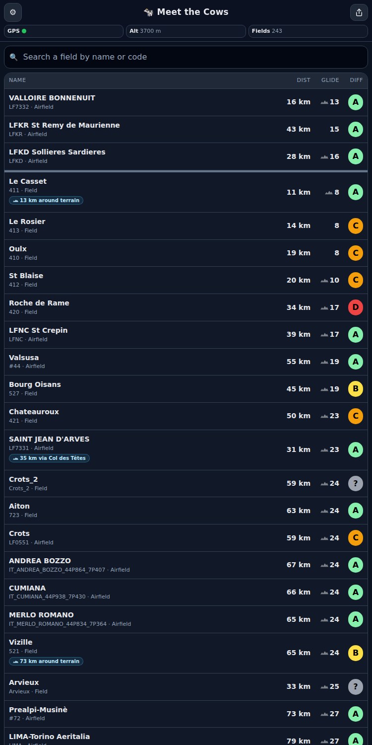
Every field shows the glide ratio you would need from your current position and altitude — not just how far away it is.
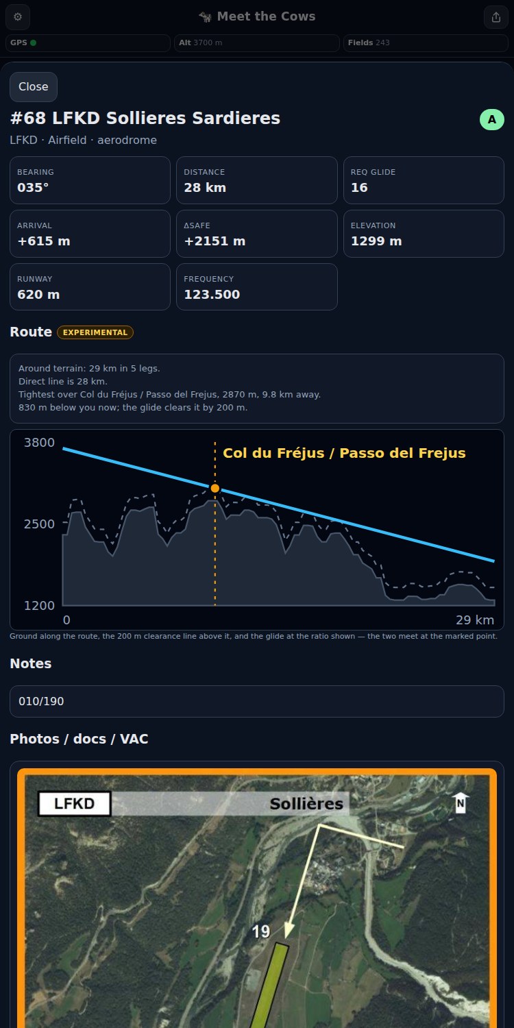
Turn terrain on and the required glide follows a path that stays clear of the ground instead of a straight line. A field down a valley can become reachable; one behind a ridge can stop being. Experimental, and off until you enable it.
Fields keep their Guide des Aires rating, so a short sloping meadow with ditches never looks like an aerodrome.
Real descriptions — approach, surface, hazards — translated into English, French and German.
VAC and aerodrome charts from the French, Spanish, Austrian, German and Italian AIPs, bundled with the airfields they belong to.
Choose your regions once to download locally. After that the app needs nothing but GPS — no signal, no data plan, no account.
The data rebuilds nightly and follows each AIRAC cycle, so charts do not quietly go stale in your pocket.
Download your regions on the ground, on a good connection. A full set of packs is a few hundred megabytes.
Covering France, Spain, Switzerland, Germany, Italy and Austria.
planeur-net — the Guide des Aires de Sécurité and its companion field collections.
SIA (France), ENAIRE (Spain), Austro Control, DFS (Germany) and ENAV (Italy), each used under its own terms.
OpenAIP, used to discover and place glider-relevant airfields.
Corrections, notes and photos sent from inside the app — each one reviewed before it reaches anyone else.
Landed somewhere or visited a field and found the notes out of date? Send a correction or a photo straight from the field’s page in the app. Every submission is reviewed before it is published, and the data is better for it.